
Navigating real estate documents can feel overwhelming, especially for first-time buyers or investors. A survey plan acts as a detailed roadmap of a property, outlining boundaries, structures, and key landmarks. These documents, prepared by licensed professionals, provide clarity for legal decisions, renovations, or land disputes.
Mark Verzyl Real Estate, based in Calgary, specializes in simplifying complex real estate processes. With local expertise and tailored guidance, their team helps clients interpret technical details like scale ratios, easements, and zoning codes. This ensures you make informed choices aligned with Calgary’s unique property standards.
This guide breaks down the components of survey documents, from legends to written reports. You’ll learn why terms like “plan” and “scale” matter when evaluating measurements. By the end, you’ll feel equipped to analyze these critical tools for effective property management.
Key Takeaways
- Survey plans offer precise visual representations of land boundaries and features.
- Local Calgary regulations may influence survey requirements and interpretations.
- Scale ratios determine how real-world measurements translate to paper or digital formats.
- Professional guidance ensures accurate understanding of technical elements like easements.
- Combining map data with written reports provides a complete property picture.
Understanding the Basics of a Property Survey
Clarity begins with understanding the blueprint of ownership. A survey plan serves as an official record showing exact boundary placements, structures, and natural features. Licensed professionals create these documents to prevent disputes and confirm legal land rights.
What Makes a Survey Plan Vital?
Surveyors use precise measurements to mark land divisions and identify structures like buildings or utility lines. Their work ensures you know where your rights start and end. For example, a misplaced fence could lead to costly legal issues if it crosses into neighboring boundaries.
| Element | Purpose | Example |
|---|---|---|
| Boundary Lines | Show legal edges of ownership | Solid black markers |
| Legend | Decode symbols and abbreviations | Blue = water features |
| Surveyor Notes | Explain measurements or restrictions | Easement locations |
Foundations for Smart Decisions
The term “legend” dates back to medieval maps, helping travelers interpret symbols. Today, these keys unlock technical details on modern surveys. Calgary homeowners benefit from Mark Verzyl Real Estate’s expertise in local zoning rules and floodplain markings. Their team simplifies complex lines and legend data so you can focus on what matters.
Components of a Survey: From Boundaries to Legends

Decoding survey components starts with recognizing their core elements. Boundary markers, numerical references, and standardized symbols form the backbone of these documents. Each detail serves a specific purpose in clarifying ownership rights and land features.
Interpreting Boundary Lines, Corners, and Markers
Boundaries define the legal edges of ownership. Corners often feature physical markers like iron rods or concrete monuments. Reference numbers link these points to written descriptions, creating a precise framework.
| Marker Type | Identification | Purpose |
|---|---|---|
| Iron Rod | Metal stake with cap | Permanent boundary reference |
| Concrete Monument | Square block with stamp | Defines key intersection points |
| Wooden Stake | Temporary wooden post | Marks preliminary measurements |
Understanding Legends, Symbols, and Scale Details
Legends translate abstract symbols into understandable terms. A dashed line might indicate a fence, while blue shading often represents water features. Scale ratios like 1:500 show how real-world distances shrink on paper.
Calgary surveys frequently use standardized icons for local features. These include floodplain indicators or utility easements specific to Alberta regulations. Matching symbols to their meanings prevents misinterpretation during renovations or land use planning.
How to Read a Property Survey
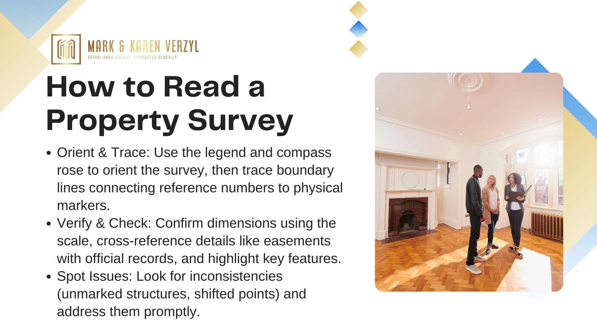
Accurate survey interpretation combines visual analysis with systematic verification. Start by identifying the legend, typically found in a corner, which decodes symbols for fences, utilities, or natural features.
A Step-by-Step Guide for Homeowners and Professionals
First, align the survey’s compass rose with north using a smartphone app. This confirms the location orientation matches real-world positioning. Next, trace boundary lines using reference numbers linked to physical markers like iron rods.
Calculate total land area by cross-referencing measurements in the written report. For irregular shapes, divide the plot into geometric sections. Verify each dimension against the scale ratio (e.g., 1:500 means 1 cm = 5 meters).
Tips for Accurately Identifying Key Survey Features
Mark Verzyl Real Estate recommends these best practices:
- Compare easement markings with municipal records to confirm allowed uses
- Use colored highlighters to tag different features (e.g., yellow for structures)
- Measure distances between permanent markers to validate the process
Watch for discrepancies like unmarked driveways or shifted reference points. Calgary properties often show unique features like utility corridors or floodplain notations. Address inconsistencies early to avoid legal complications during transactions.
Reading Land Surveys: Deciphering Technical Details
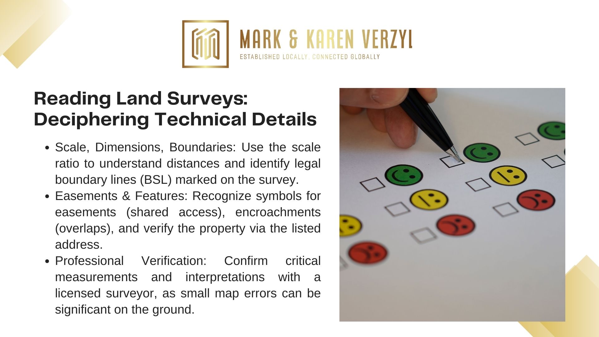
Mastering technical survey elements empowers confident properties decisions. These documents blend precise measurements with standardized symbols to outline ownership rights and limitations. Understanding their language unlocks critical insights for renovations, disputes, or investments.
Analyzing Scale, Dimensions, and Measurement Conventions
Scale ratios like 1:500 reveal how real-world distance translates to paper. A 10-meter house wall appears as 2 cm on this scale. Verify dimensions by cross-referencing numeric labels with physical markers near fences or driveways.
Calgary surveys often use metric units for consistency. Small discrepancies matter—a 15 cm error on paper could equal 7.5 meters in reality. Always confirm calculations with a licensed professional before finalizing land use plans.
Understanding Easements, BSL, and Other Critical Markings
Easements appear as shaded zones or dashed lines, indicating shared access rights for utilities or pathways. Boundary Survey Lines (BSL) define legal limits, often marked by steel pins or concrete monuments.
| Marking | Appearance | Purpose |
|---|---|---|
| Utility Easement | Yellow hatched area | Municipal access rights |
| BSL | Red dotted line | Legal ownership edge |
| Encroachment | Orange crosshatch | Unauthorized structure overlap |
The registered address anchors the survey to municipal records. Match this to physical properties using visible landmarks like street signs or parcel numbers. Accurate correlation prevents confusion during parts replacement or expansions.
Key Insights for Calgary Real Estate Surveys
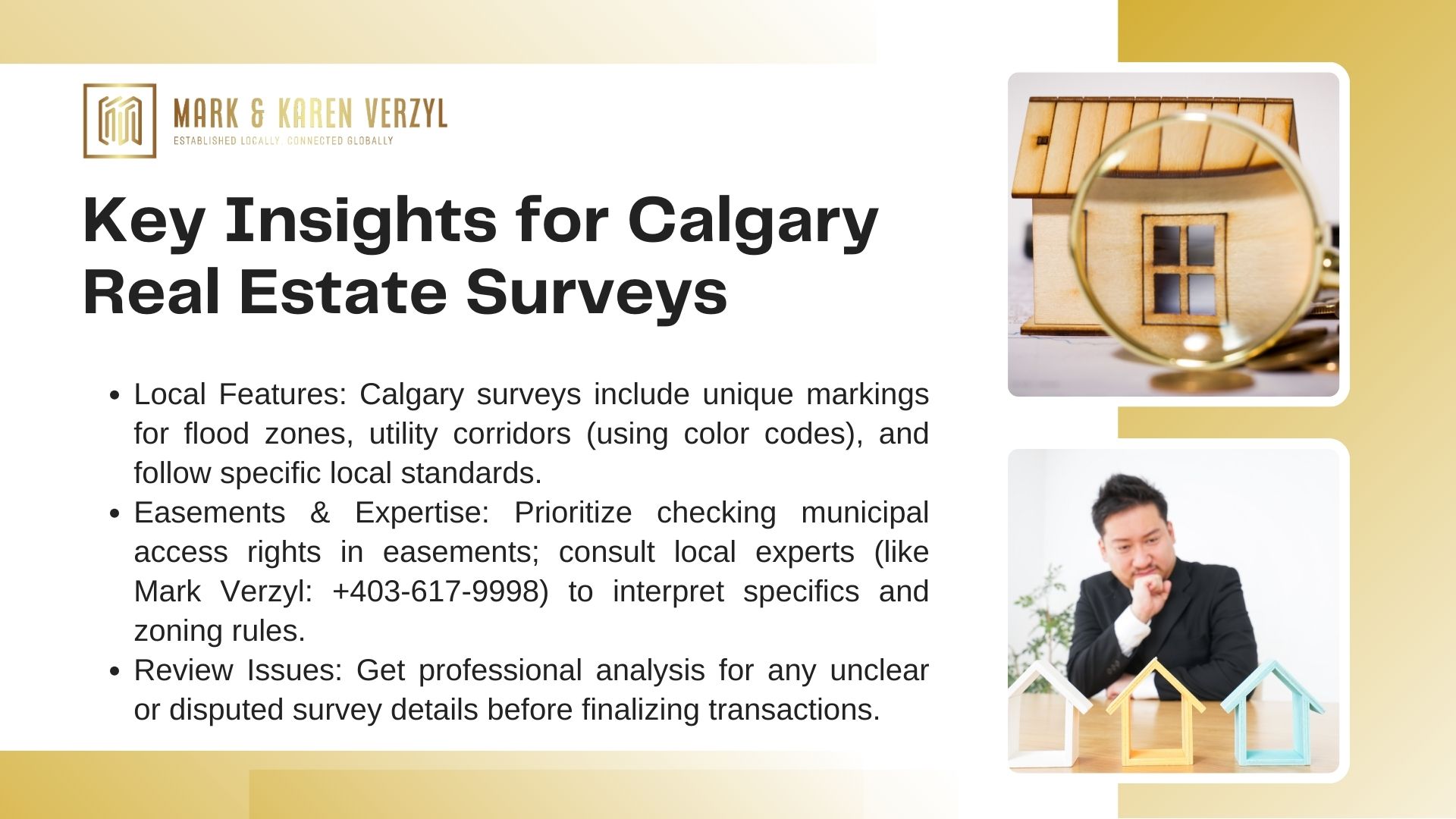
Calgary’s unique geography and regulations shape how professionals document land ownership. Local surveys often include specific markers for flood zones, utility corridors, and municipal easements. These details directly impact home values and development possibilities.
Local Considerations and Calgary-Specific Survey Standards
Alberta’s boundary survey requirements emphasize precision for properties near river valleys or protected areas. Unlike other regions, Calgary surveys frequently mark indication points for underground utilities using standardized color codes. This helps builders avoid costly errors during excavation.
Key differences in local practices include:
- Floodplain notations using elevation benchmarks from Bow River data
- Mandatory written report attachments for subdivisions
- BSL markers placed at 15-meter intervals in newer communities
Easement rules here prioritize municipal access over private modifications. A site with shared driveway access might show overlapping rights in blue shading. Always cross-reference these markings with city planning documents.
Contacting Mark Verzyl Real Estate for Customized Advice
Decoding Calgary’s survey specifics requires local expertise. Mark Verzyl Real Estate (+403-617-9998) offers tailored guidance for home buyers reviewing complex plans. Their team explains how boundary lines interact with zoning bylaws and development restrictions.
For disputed markers or unclear indication symbols, request a professional review. The company’s written report analysis can resolve discrepancies before purchase agreements finalize. Connect with their Calgary office to navigate regional standards confidently.
Conclusion
Understanding land survey documents transforms complex data into actionable insights. Boundary lines, fence placements, and technical notations form the foundation of informed property decisions. By analyzing each part of these plans, you gain clarity on ownership rights and potential limitations.
Review boundary markers and fence alignments to confirm your property boundary matches legal records. Subtle details like easement codes or scale ratios often hold critical implications. Discrepancies in these elements can impact renovation plans or future sales.
Mark Verzyl Real Estate simplifies this process for Calgary residents. Their team deciphers local regulations and land survey specifics, ensuring you avoid costly oversights. Whether verifying lot dimensions or resolving encroachment questions, professional guidance streamlines transactions.
Ready to navigate your property boundary details confidently? Contact Mark Verzyl Real Estate at +403-617-9998. Their expertise turns technical surveys into clear roadmaps for smarter investments and hassle-free ownership.